Welcome to WMLCRID (The Lake District)
This website serves as the official information distribution source for the White Mountain Lakes County Recreation Improvement District. We are a PRIVATE lake, For Members & Guests Use Only. Supported by tax assesments in the district.
This website is currently undergoing maintenance. Information is being updated and repairs on currently ongoing. We appreciate your patience as we improve and make repairs to our website.
Want to know the weather at the lake?
You can view wind speeds, wind direction, rain totals, barometer, etc. You can even get weather forecasts.
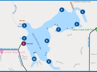
GOOGLE MAP TO LAKE ENTRANCE FOR WMLCRID:
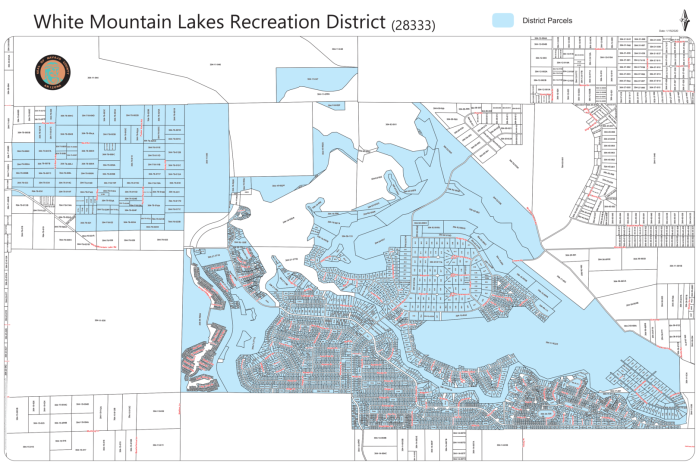
WMLCRID PARCEL BOUNDARY MAP:
PARCEL BOUNDARIES - - White Mountain Lak[...]
Adobe Acrobat document [1.4 MB]
If the map above is not working for you, the official method to learn if your property is inside the WMLCRID, is to go to the Navajo County Assessor's Map (Click Here), Select your property, and click on your parcel number to bring up your property information. From there, click on "District Charges" and look down the list. If you find an entry entitled "White Mtn Lakes Rec (28333)" then you are indeed a District Member, and your property taxes help fund the district. We look forward to seeing you at the lake.
NEW HOME OWNER RESOURCES
COMMUNITY CCR'S (ALL 18 UNITS)
